
Mount Pleasant Neighbor Record Sources
Mount Pleasant neighbors are best understood through the immediate block around one address. Charleston County GIS identifies parcels that touch or sit near the selected parcel. Property Record Cards add the owner field, tax-date context, TMS, legal description, and separate mailing and property addresses. The ROD explains recorded transfers and plats. A historic reverse directory can add a dated printed occupant or business. These sources create a careful block picture without claiming they reveal every resident.
| Source | What It Shows About a Block | Access |
|---|---|---|
| County Parcel Viewer | Adjacent parcel polygons, mapped context, plat/deed references | Public map and Parcel ID link |
| Property Record Cards | Tax-date owner, TMS, legal description, property and mailing fields | County owner/address/TMS portal |
| ROD documents | Recorded parties, instruments, plats, transfer dates | Index, images where available, counter |
| CCPL reverse lists | Listed historic address occupant or business by edition | 1840 and 1890+ qualifying editions |
| Town community resources | Civic contact and project-support layers | Town HOA and Neighborhood Bulletin resources |
The owner field can be a strong property lead, but it is not proof of occupancy. A mailing address can belong to an agent, estate, post-office box, or another property. MySCVotes is a voter’s self-service system and no official public block-by-block voter display was verified. The right result is a dated, limited claim such as “tax-date owner shown on the County card,” not a conclusion about who lives next door.
Mount Pleasant Parcel Map Method
The Charleston County Parcel Viewer takes an address, street or road name, parcel number, or owner name in its main search field. Zoom to the address, select its polygon, then read the summary and use the Parcel ID hyperlink to open tax information. The viewer supports parcel and address labels, street layers, historic imagery, measurement, and a feet-based buffer. Those controls make it possible to identify the immediate parcels around a Mount Pleasant block without guessing from a drawn line.
Map layers include parcels, streets, address points, hydrology, boundaries, historic imagery, building-footprint years, and Mount Pleasant layers for addresses, zoning, future land use, and the urban-growth boundary. A polygon is geographic context, not a legal survey or resident list. For each relevant parcel, check the TMS and legal description on the tax card, then use a plat or ROD document if the lot relationship matters.
Mapping Mount Pleasant Block Parcels
The adjacent-parcel process follows record identifiers outward from one known address. Start with the selected parcel, not an assumed resident name. The TMS, legal description, plat book and page, and deed book and page can show how the site relates to nearby lots. Property-card and GIS data can identify the current tax-date owner field for each parcel. Use those links as a block map, then stop short of treating a tax name as a household roll.
- Find the known Mount Pleasant address in the Parcel Viewer and select its polygon.
- Open nearby polygons one at a time, saving only the parcel identifiers and recorded property fields needed for the question.
- Follow the Parcel ID to Property Record Cards and compare the property address, mailing address, owner-on-tax-date, and legal description.
- Use plat or deed references at the ROD when a shared line, lot split, or transfer history needs confirmation.
- Use reverse directories only for dated historical listings at a qualifying address and year.
The Mount Pleasant by-street directory route takes over when the research question concerns an entire named street rather than the immediate block around one parcel.
Mount Pleasant Owner Fields Carefully
Charleston County Property Record Cards make a critical distinction between Property Address and Mailing Address. The first is the situs, the physical parcel location. The second is the correspondence destination shown in tax records. They may match, but an owner may use another address, an agent, a post-office box, or an estate arrangement. A different mailing field is a lead for a recorded document or custodian verification, not evidence that someone lives there.
The County card can also display subdivision, tax district, acreage, jurisdiction, sale date, deed date, current owner as of January 1, and deed book/page. This offers more reliable parcel context than a generic neighborhood search. It also sets a limit: a tax record does not list all household members, deliveries, utilities, or private contact information.
Mount Pleasant Civic Contact Layer
Mount Pleasant’s Town HOA page and Neighborhood Bulletin are community-support resources, not membership directories. The HOA material says these systems are not Town-owned and directs association members toward stormwater-BMP maintenance information. The Neighborhood Bulletin helps HOA leaders and community members follow major projects, Town initiatives, and updates. An address does not establish association membership, and no authoritative public roster of all local HOA or civic members was located in the research.
Town Boards and Commissions
Public agenda and minutes for civic bodies, not resident rosters.
See the Town’s HOA resource for the public community-support layer.
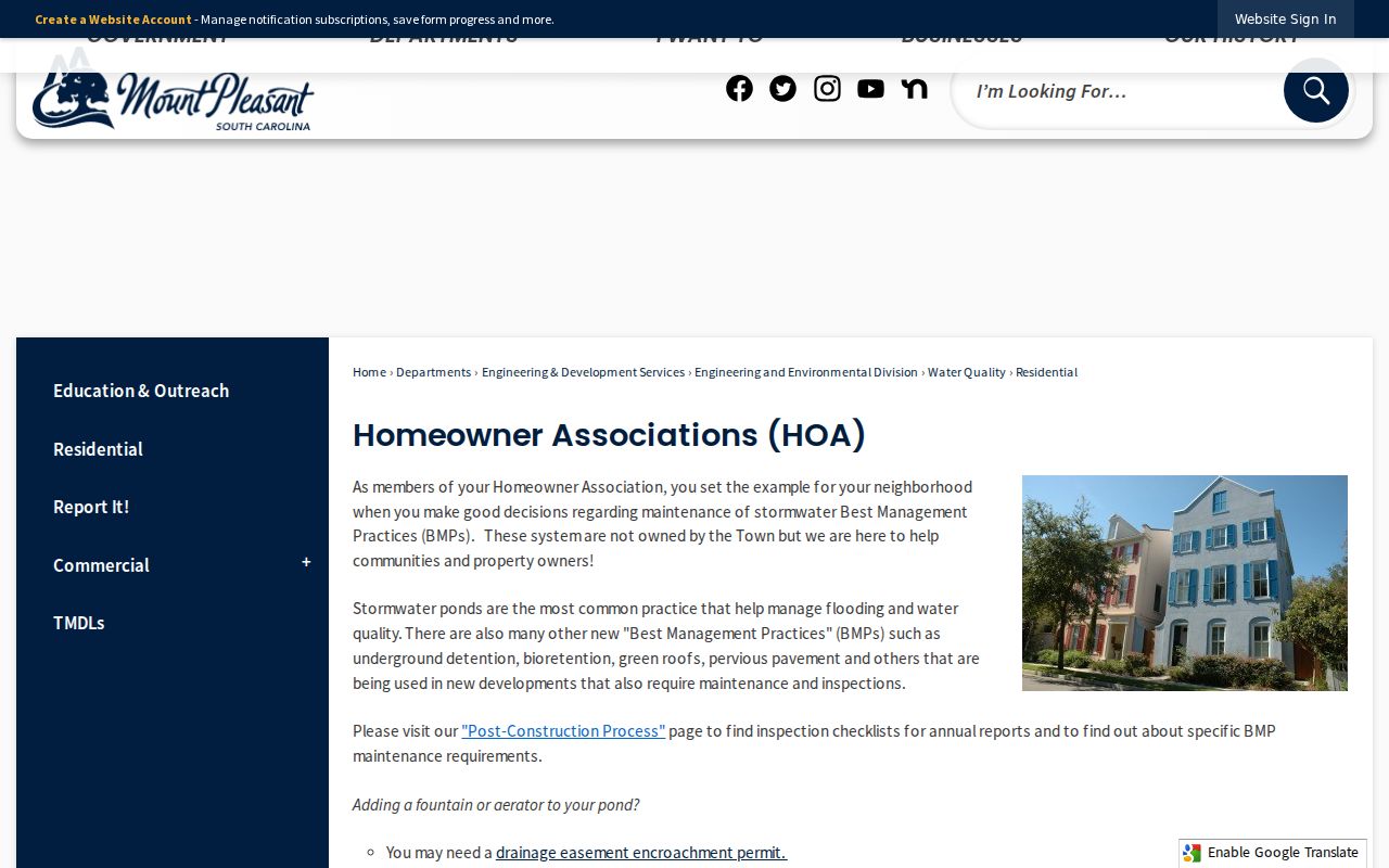
The Town page provides a way to understand how community systems interact with local government without publishing a list of neighbors.
Mount Pleasant Neighbor Source Comparison
Official parcel records name their custodian, date, and field source. Historic directories identify a particular edition. Commercial neighbor-search products can combine stale or mismatched data and may omit the original record context. A commercial result may suggest a question to verify, but it cannot replace the dated County card, map selection, deed, or library volume that supports the relevant fact.
| Source category | Useful for | Key limit |
|---|---|---|
| County GIS and property cards | Adjacent parcel and tax-date owner context | Not an occupancy list |
| ROD and plats | Recorded transfer and lot relationship | Does not establish every resident |
| CCPL historic directories | Dated printed address listing | Coverage varies by locality and edition |
| Commercial compilations | Possible lead for custodian verification | May be old, merged, or incomplete |
Mount Pleasant Scanlonville Block History
Some Mount Pleasant blocks need a local-history trail alongside the parcel map. The Town describes Scanlonville as a postwar land-purchase community linked to Robert Scanlon’s 1868 purchase of the Remley Plantation and the Charleston Land Company. The Town annexed Scanlonville in 1982. For an historic block there, plats, ROD books, Town history resources, directories, census, and community history can add context that a modern owner field cannot provide.
Use that history to choose the right archive and map terms, not to infer family relationships or current residence from a neighborhood name.
Mount Pleasant Block Plats and Deeds
A plat and a deed often explain a Mount Pleasant block more accurately than a road name alone. Start from a selected parcel’s plat book/page or deed book/page, then check the legal description for lot, block, subdivision, tract, or boundary language. A subdivision can be replatted, a lot can be carved from a larger tract, and the current street label can hide those changes. The ROD document route is therefore the record source when the relationship between parcels, not just their proximity on a map, matters.
The ROD’s online deed and mortgage index/tracer data begins in 1978 and its recorded images begin in 1997. For earlier Mount Pleasant block work, the office reports physical document access from 1719 through 1960 plus film or microfiche from 1960 through 2005. A grantor is the recorded conveying party and a grantee is the receiving party. Those roles describe a transaction, not a current household.
Mount Pleasant Historic Block Listings
CCPL’s reverse street directory material can give a historic block a dated human layer. The historic-property guide identifies a street cross index for 1840 and reverse listings from 1890 forward. In those qualifying editions, start with the address, read the listed occupant or business, then return to the alphabetical entry for supporting detail. Before 1890, ordinary directories generally require surname research, with the 1840 to 1841 cross-index exception.
Directory geography changes over time. Mount Pleasant and East of the Cooper entries may appear in separate outlying or suburb sections, especially in 1940s and 1950s volumes. A printed listing is one edition’s evidence, not a full account of everyone on the block. Pair it with the parcel and deed record, noting the edition, page, address form, and locality heading.
Mount Pleasant Neighbor Privacy Limits
A neighbor lookup has firm boundaries. Property systems do not publish every household member. MySCVotes is not a public road-by-road voter list. DMV data is protected by the Driver’s Privacy Protection Act, and court, vital, election, and official-record images may carry redactions or confidentiality rules. The reviewed sources did not verify a statewide address-confidentiality enrollment system that can be assumed to apply to a Mount Pleasant address. Ask the relevant custodian or a victim-service provider about current confidential-address options.
South Carolina’s Family Privacy Protection Act works alongside, not instead of, record-specific access rules. Request only the information needed for a legitimate personal, family-history, civic, or property question. If a property-record alert or unexpected document raises a concern, confirm the actual ROD record before acting.
Lawful use. Use Mount Pleasant neighbor records carefully for property, family-history, or civic context. Never use a map, parcel, or directory result to watch, harass, intimidate, threaten, or harm anyone.