
Mount Pleasant ZIP Code Coverage
USPS places the 29464 through 29466 range under Mount Pleasant postal labeling. The local evidence clearly supports 29464 and 29466 as standard postal codes used in Town and County addresses. The same source includes 29465 in the range, but it does not establish whether that code is a delivery area or a post-office-box classification. Treat each code as postal geography, not a resident list, neighborhood line, tax district, precinct, or Town boundary.
| ZIP | Areas Covered | Post Office | Notes |
|---|---|---|---|
| 29464 | Municipal Complex, Mount Pleasant Library, and historic or central Town examples | Mount Pleasant postal grouping | Confirm an individual address through USPS. County voter tracking uses “Mount Pleasant,” not “Mt. Pleasant,” in its city field. |
| 29466 | Northern and eastern Town examples, including Charleston National property-card examples | Mount Pleasant postal grouping | Subdivision and map references help with orientation but do not replace an exact USPS result. |
| 29465 | Included in the USPS Mount Pleasant range | Not established in reviewed sources | Confirm live with USPS before describing its delivery or post-office status. |
The ZIP code directory is therefore an address-verification tool first. Town neighborhood profiles and County examples help place a known address in local context, but neither assigns a whole subdivision to a postal code or proves that a named person is there.
USPS Verifies Mount Pleasant ZIPs
Use the USPS ZIP Code Lookup before searching a local address. Enter the street address with the city and state, then use the resulting standardized mailing form when needed. USPS notes that a ZIP lookup does not confirm that a person or company is at that address. It establishes a delivery result, not occupancy, ownership, Town limits, or voting status.
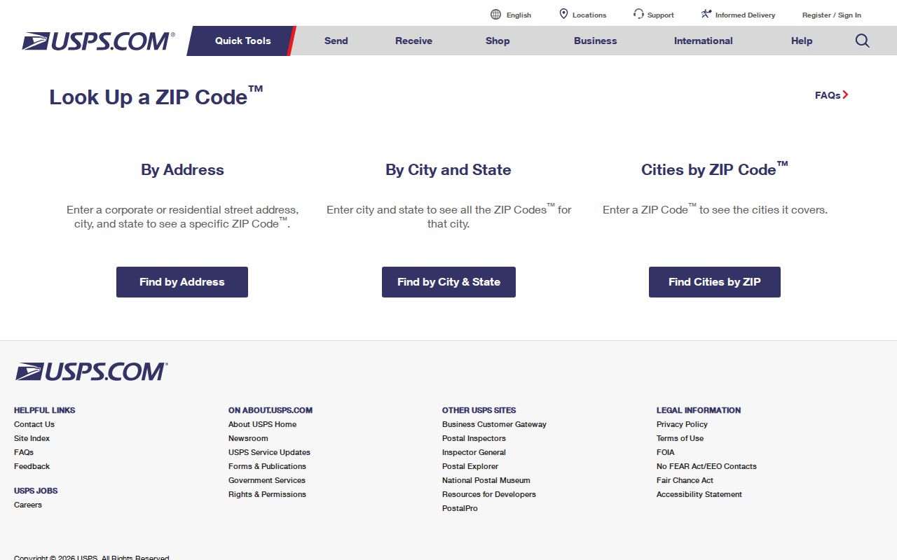
USPS may format a written street address differently from the form a researcher entered. That is normal. Keep both the standardized mailing form and the County property-system form in the notes, then use the street and parcel identifiers required by the local records systems.
| USPS lookup information | How it is used locally | What it cannot establish |
|---|---|---|
| Street address | Checks the delivery address and standardized form | Whether a person currently lives there |
| City and state | Distinguishes the intended Mount Pleasant postal result | Town jurisdiction or County tax district |
| Returned ZIP Code | Provides postal routing for the specific address | Parcel ownership, a deed chain, or precinct assignment |
Mount Pleasant ZIP Search Route
County systems do not offer a documented public ZIP search field. That is why an exact address, rather than a postal code alone, drives the local workflow. A ZIP narrows the geographic question, but the Charleston County Property Record Cards use owner name, street address, TMS parcel number, or sales date. The Parcel Viewer accepts parcel number, address, street name, or owner name.
- Verify the exact street address with USPS, including its city and state. Record the standardized postal form, but do not treat the result as proof that a person is present.
- Search the Charleston County Property Record Cards by street address. Enter the street number and street name, leave off “St.” or “Ave.,” and spell a numeric street name out before trying a numeral. Capture the TMS, situs address, mailing address, legal description, and deed references.
- Open the matching parcel in the Charleston County Parcel Viewer. Use the parcel polygon, jurisdiction, roads, layers, and Parcel ID link to orient the address and compare the tax information. A map is not proof of title or residency.
- For property history, use the TMS, legal description, book/page, record date, or recorded party in the Charleston County Register of Deeds route. Recorded instruments are better evidence for a conveyance than a postal code.
- For voting geography, use MySCVotes for the voter’s own registration and polling functions, or ask the County election office about precinct process. No reviewed source documents a public ZIP-wide voter or resident roster.
Once an address is narrowed, the By Street page follows the address-based County trail in more detail. The ZIP code directory does not turn a postal area into a list of the people who reside there.
Why ZIP Is Not a County Key
Charleston County keeps its address evidence under parcel and street keys because those keys tie back to a real tract. Property Record Cards distinguish owner-name, address, TMS, and sales-date paths. The Parcel Viewer uses one search box for parcel number, address, street name, or owner name. Neither public tool was documented with a ZIP filter.
That limitation prevents a misleading claim that County records can be searched ZIP by ZIP. Use USPS to settle delivery formatting, then work from the address and TMS. A property card names the party shown in its owner field for a tax date, not every occupant of the parcel.
| County resource | Documented public entry keys | ZIP limitation |
|---|---|---|
| Property Record Cards | Owner, street address, TMS, sales date | No public ZIP field documented |
| Parcel Viewer | Parcel number, address, street name, owner | No public ZIP field documented |
| Register of Deeds | Recorded party, instrument, date, book/page, and related record routes | Postal code is not the primary recorded-document key |
Mount Pleasant ZIP Geography
The documented 29464 examples include the Municipal Complex, the Mount Pleasant Library, and historic or central Town locations. The 29466 examples point to northern and eastern Mount Pleasant, including a County property-card example in Charleston National. These are useful landmarks when checking an address already in hand.
They are not boundary declarations. A subdivision label, a Town neighborhood profile, or a postal city name cannot decide whether a parcel sits inside Town limits. Check the selected GIS parcel for jurisdiction and use the official address result for its delivery assignment.
Mount Pleasant ZIP Limits
A ZIP is a postal delivery route, not a municipal line, election precinct, County tax district, or neighborhood boundary. An address carrying a Mount Pleasant postal label may still need a GIS and jurisdiction check before a researcher decides which Town or County office should be consulted. This distinction is especially important for addresses near changing municipal edges and for historic places whose current postal names differ from earlier records.
A USPS result verifies delivery formatting for an address. It does not establish Town jurisdiction, property ownership, household membership, or a person’s current residence.
Use postal data to begin the search, then let the parcel’s situs, legal description, and jurisdiction guide the records route. For a historic address, the correct place name may be more helpful than a modern postal label.
- ZIP / ZIP+4
- A ZIP identifies a postal delivery area. ZIP+4 adds a smaller delivery segment for more precise sorting; it is not a parcel or jurisdiction identifier.
- PO-box ZIP
- A postal code used for post-office boxes may differ from a physical street-address delivery code. The reviewed sources do not classify 29465, so confirm it through live USPS tools.
- Unique ZIP
- A ZIP assigned to one institution or organization for mail handling. No unique Mount Pleasant ZIP was established in the reviewed sources.
- Carrier route
- A mail-delivery sequence within a postal area. It helps postal operations and does not define a neighborhood, property line, or resident group.
Situs, Mailing, Legal Description
Charleston County record cards show a Property Address and a Mailing Address separately. The property address, also called the situs, is the physical parcel location used to find the land on a map. The mailing address is where tax correspondence is sent. They can match, but they can also differ because an owner uses a post-office box, business agent, or estate mailing address.
A legal description is different again. It uses lot, tract, subdivision, or metes-and-bounds language to connect the parcel to deeds and plats even when the street format changes. A mailing-address difference is a reason to verify with a recorded document or custodian, not a reason to label someone a current resident.
Historic Names Behind Mount Pleasant ZIPs
Modern postal geography can hide older place names. Mount Pleasant history includes Greenwich, Hibben Ferry Tract, Mount Pleasant Plantation, Hilliardsville, and Lucasville, as well as Christ Church Parish references. Greenwich began in 1766, the Village of Mount Pleasant was laid out on land purchased in 1803, and the Town was incorporated in 1837.
The Town also changed county history. It became the Berkeley County seat in 1883 and returned to Charleston County in 1895. For an older deed, directory entry, plat, or map, search the historic village or parish name as well as the modern postal name. A current postal label cannot settle historic jurisdiction or translate an old address without that supporting record trail.
Mount Pleasant ZIP Address History
After USPS confirms a current postal form, record the TMS and legal description from the property card, inspect the parcel in GIS, then follow the deed reference through the Register of Deeds. The ROD reports online deed and mortgage index data from 1978 and images from 1997. Earlier Mount Pleasant work may require the office’s physical documents, film, or historical-books route rather than an online result.
For a household-history question, pair the property sequence with a dated directory entry or map rather than treating the ZIP as historical evidence. Charleston County Public Library materials include directories and maps that can help interpret an older locality label. State the record type and date for each finding, since a deed, tax card, map, and postal lookup answer different questions.
Mount Pleasant ZIPs Do Not Prove
A postal assignment does not identify who lives, votes, visits, or receives mail at an address. MySCVotes is an individual voter’s self-service tool, and the reviewed sources do not establish a public ZIP-wide voter display. The County election office can explain precinct and polling-place process, while a specific, lawful request must follow the applicable official procedure and current limits.
Use address and parcel records for family history, estate questions, civic research, or verification with the custodian. Do not use information from these sources to stalk, harass, threaten, or harm anyone. South Carolina’s harassment and stalking provisions include S.C. Code §§ 16-17-430 and 16-3-1700 et seq.